Plan a Visit
There’s a wealth of exploration awaiting you in the 180-acre Spring Hill Cemetery Park and Arboretum:
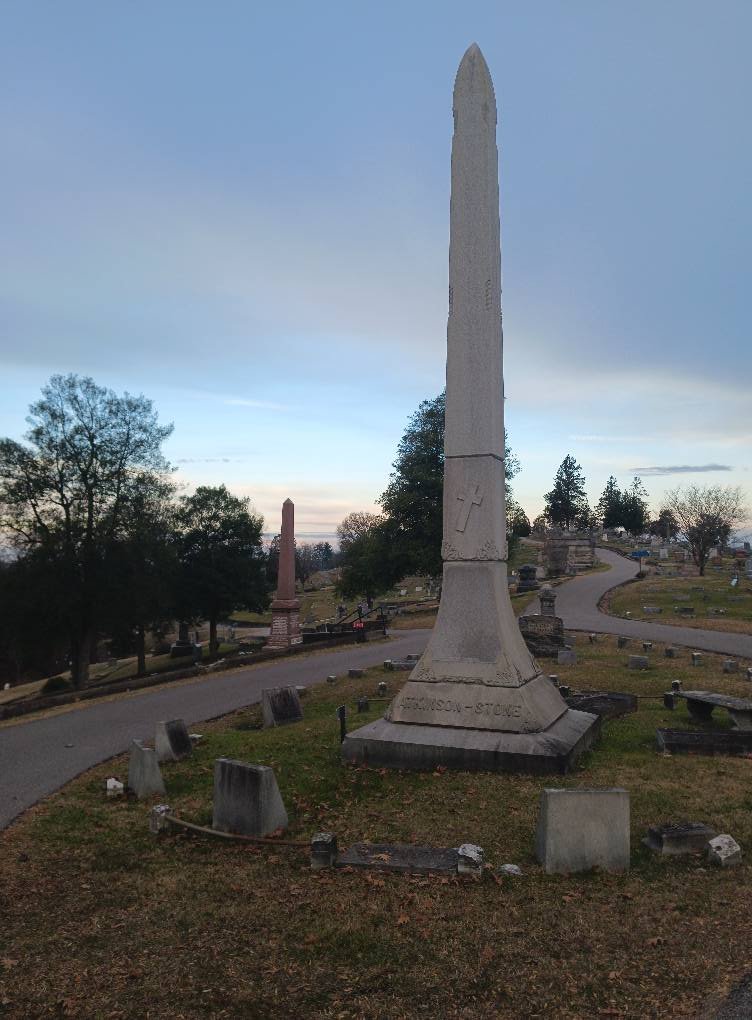
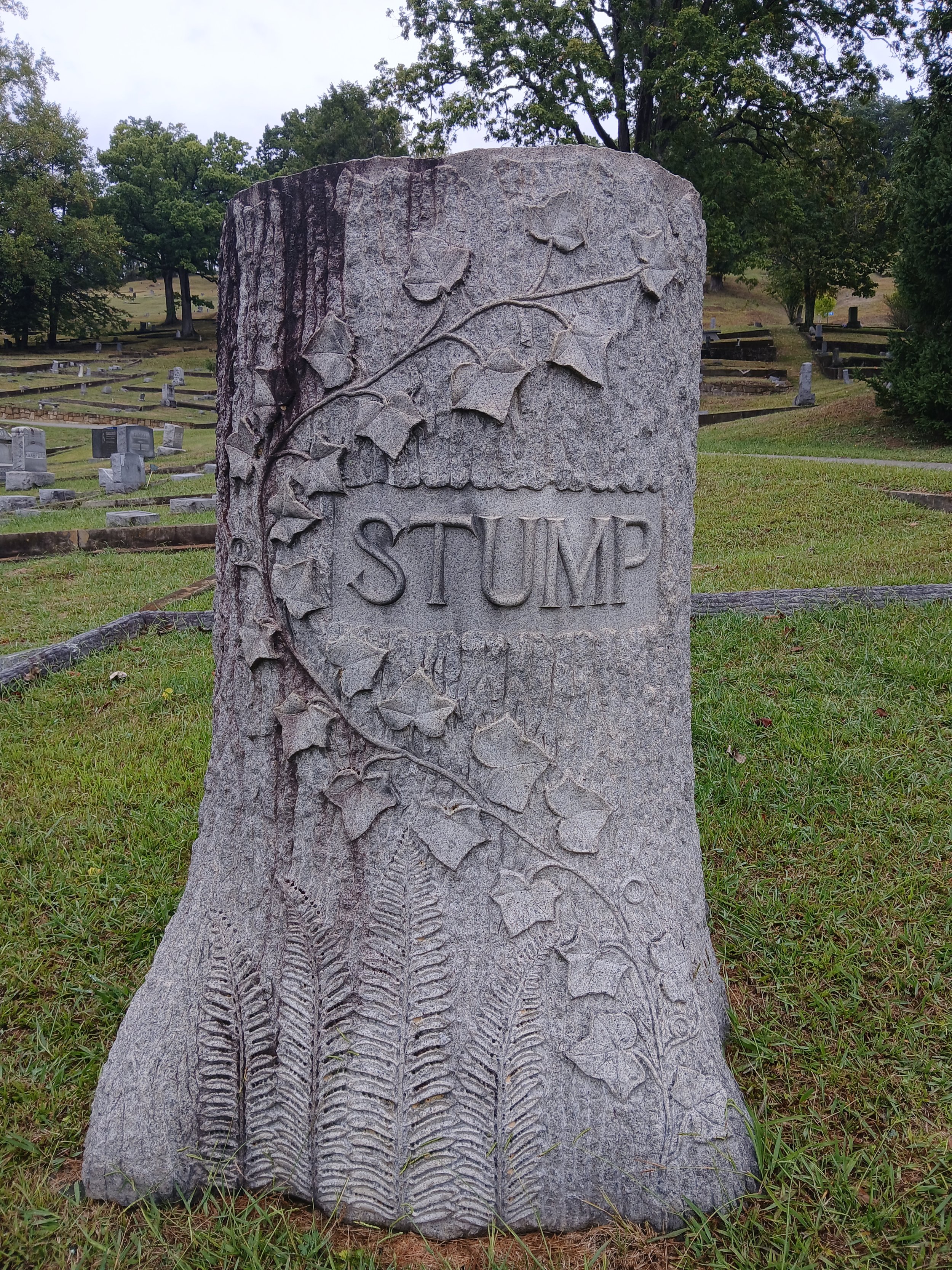
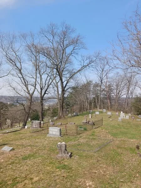
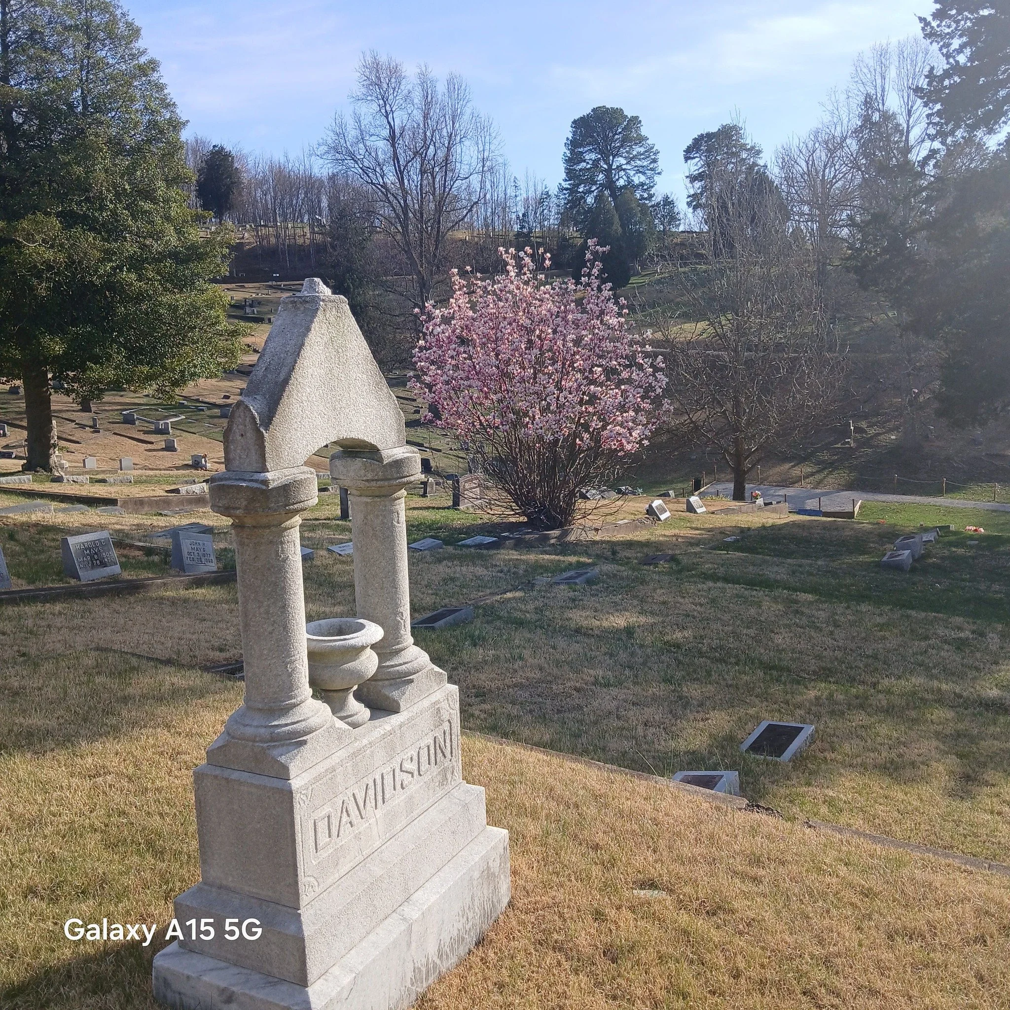
Monuments celebrating prominent figures in Charleston’s history
Birds and wildlife to observe
Viewpoints at Kinney Drive, Knapper Drive, and Singleton Circle at the end of Haynes Drive
Self-guided tours can be enjoyed either by car or on foot along the five miles of paved roads that wind through the park, as well as on the woodland trails.
Visit the Digital Map page to explore zones and collections, including Angel Walk, and discover routes that connect trees and monuments. Using a mobile device, you can navigate and learn as you stroll. The page includes information on the trees and shrubs in the arboretum, along with details about the cemetery monuments.
For first-time visitors, we highly recommend the Introductory Short Walk or Drive: Charleston History – Champion Trees – Views.
Several history pamphlets and tree-walk brochures are also available in print at information kiosks.
Introductory Short Walk or Drive: Charleston History – Champion Trees – Views
This walk or drive introduces visitors to notable figures laid to rest in the cemetery who played significant roles in Charleston’s history. You’ll also encounter select trees in the Ratrie Arboretum and enjoy stunning views overlooking Charleston and the Kanawha Valley.
Distance: Up to 1.4 miles
Difficulty: Moderate
Surface: Pavement and grass road
Grade: Mild slopes
Short Walk – View as a downloadable resource
Asian Circle – The Lilly and Davis Loop
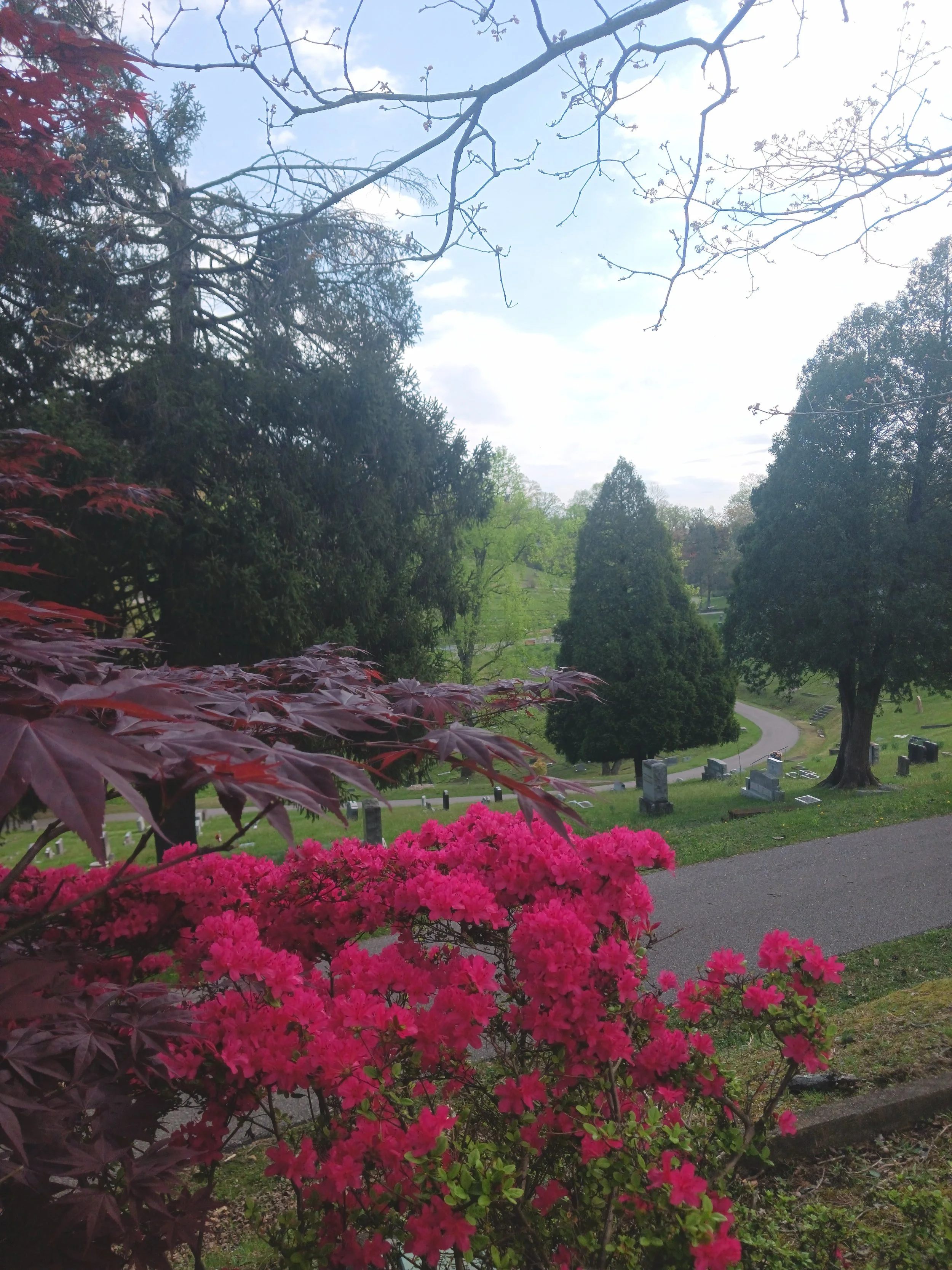
The Lilly/Davis Road loop offers a delightful walk with scenic views and an excellent area for birdwatching. A short spur up Haynes Drive leads to Singleton Circle, which offers a beautiful view of the Kanawha Valley.
Newly planted trees and shrubs from China, Japan, Korea, and other Asian countries blend with existing mature native and non-native species.
Park by the Farley Angel Monument, or at the Mausoleum for a longer walk that can be combined with all or part of the Magnolia / American Legion / Farnsworth Loop.
Distance: 0.7 miles from Farley Angel
Difficulty: Easy
Surface: Pavement
Grade: Mild slopes
Brawley and Rollins Loop
This relatively flat loop features widely spaced mature trees alongside newly planted lilacs and viburnums.
Park near the Mausoleum; Brawley Road begins to the left of the Mausoleum.
Distance: 0.7 miles
Difficulty: Easy
Surface: Pavement
Grade: Mild slopes
Butterfly Garden and Ridgeline Walk
The Butterfly Garden is filled with annuals and perennials, surrounded by meadows that attract a variety of butterflies in summer.
Adjacent to the garden, a short wood-chipped nature trail contains mature trees and newly planted shrubs that serve as butterfly host plants.
For a longer walk, follow the road uphill to the left, then continue around the corner heading east along Middleton Drive. At the first right, enter the Mountain View addition, walk behind the small Nicol Mausoleum, and continue back along the ridgeline on the grass to see the West Virginia Champion Fringe Tree, all while enjoying sweeping views of the Kanawha Valley.
An annual celebration of West Virginia’s state butterfly, the monarch, takes place on September 12, including a butterfly release.
Parking is available on the grass near the garden.
Distance: Up to 1.3 miles
Difficulty: Easy–Moderate
Surface: Pavement, grass, and wood chips
Grade: Mild slopes
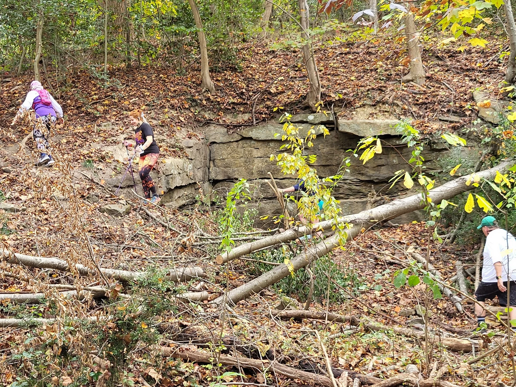
Jefferies & Riggs Road and Trail
Fully accessible after May 1.
Park by the Green Building at the junction of Nabors, Collins, and Knapper Drive.
Head east on Collins and take the trail through the woods to the top of the gravel radio tower road. Descend and join Ball Lane, traveling west along the woodland edge.
You may either stay on the road and loop back to your car or spend extra time exploring the Jefferies Section. If so, it is worthwhile to pick up a copy of the African American History Tour to learn about many prominent Charlestonians buried in this area.
The end of this section offers a beautiful view of the city.
Magnolia – Barber to American Legion, Returning via Farnsworth
This loop introduces visitors to newly planted magnolias, crape myrtles, conifers, and more.
From the parking lot near the Mausoleum, walk east on Barber Road, then take the first road onto Shanklin–Muldoon–Canterbury, continue down American Legion, and return to the parking lot via Farnsworth.
Distance: 1 mile
Difficulty: Easy–Moderate
Surface: Pavement
Grade: Mild slopes, with a steeper incline up Farnsworth at the end
Old Circle
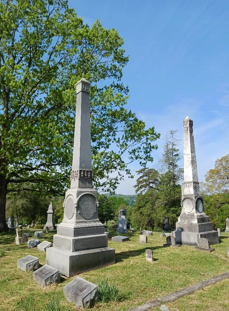
The Old Circle is part of the original twenty acres purchased in 1869 for $2,118 to establish the cemetery. It serves as the final resting place for many of Charleston’s founding families, whose names also grace downtown streets.
This walk features two West Virginia Champion Trees—a Post Oak and a Sawara Cypress—alongside numerous other mature specimens.
Recent plantings include witch hazel, dogwoods, and viburnums.
Distance: 1 mile
Difficulty: Easy
Surface: Pavement
Grade: Mild slopes
Songbird Trail
Open from May 1.
This trail is named after Billy “The Dixie Songbird” Cox, who is buried in Freeground adjacent to the trail.
It meanders through mature woodland beside a small water source.